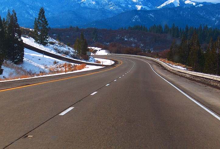
I took this on the drive down Siskiyou Pass the highest point on the drive.
Interstate 5 passes through the Siskiyous at Siskiyou Pass, located just north of the Oregon/California border, and just south of Ashland, Oregon. The pass is the highest part of Interstate 5 at 4,310 ft. (1,314 m). This pass is one of the most treacherous in the Interstate highway system. The California side has a more gradual ascent/descent, but the Oregon side of the pass (the side which is more hazardous), the freeway gains (loses) 2,300 feet (701 m) in altitude over a 7-mile stretch of freeway. In addition, the pass includes several hazardous curves, and is frequently hit with bad weather (including snow, ice, and fog) during winter storms. During winter, the highway is frequently closed by transportation authorities due to hazardous conditions.
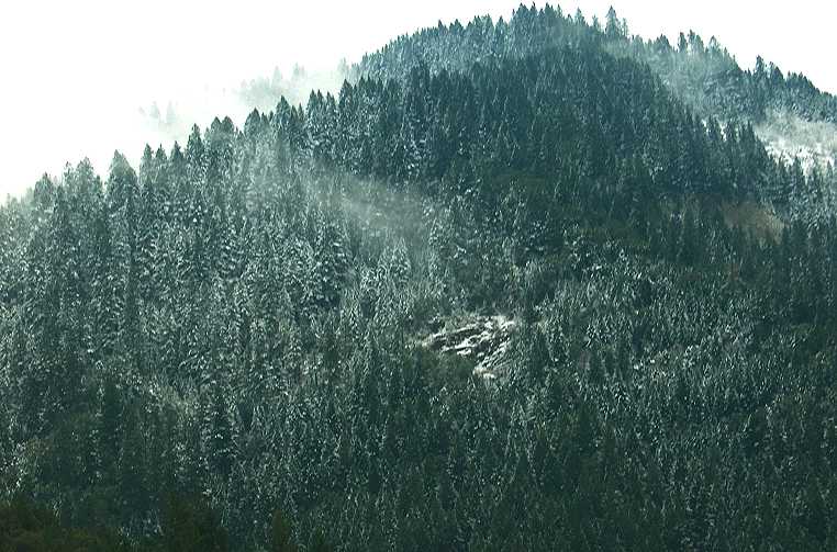
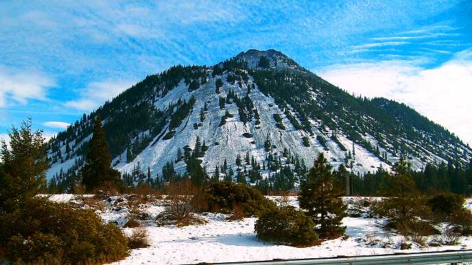
Needless to say there was plenty of snow.
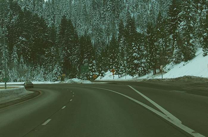
This picture is taken at California exit 6 on Interstate 5.
The slope was full of natures snowmen lined up and heavy with snow.

Finally Weed, CA and Mount Shasta. Unfortunately the peak was higher than the clouds.

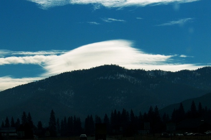
Lenticular cloud – lenticularis
A lenticular cloud is a cloud that is shaped like a lentil seed, lenticularis is their correct name. They form along mountain ranges and in the standing waves on the lee side of mountain ranges. They usually have very well defined lens shaped outlines and may be quite long, like a long seat cushion.
On the flank of Mount Shasta is a lesser volcano named Shastina, which erupted after most of Shasta was built. On the flank of Shastina, down at its western base, is an even smaller volcano, Black Butte. It is noteworthy because it sits right next to Interstate 5 near the town of Mount Shasta. It last erupted at the beginning of Holocene time, less than 10,000 years ago. It should be considered dormant, not extinct.
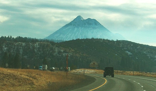
Black Butte volcano from a little closer.
In Mount Shasta City there were several of these fires that were all controlled burns probably from brush cleanup.

Well it was a nice drive and it was great seeing my big sister (the real artist) and my brother-in-law the dyed in the wool cowboy. They both look great and have been missed. Tomorrow we visit my cousin Retired bowler and her dear friend Postal woman. Can't wait to see them.
1 comment:
Hi Paul,
I enjoyed your travelogue. I am former Executive Director of the Smith River Project, and I now run the Siskiyou Land Conservancy. Both organizations have a lot to do with protecting much of the land you drove through in Northwestern California. I would like to send you more information about our work, as this territory is some of the most beautiful, biologically diverse and ecologically important in the world.
Please see: http://www.SiskiyouLandConservancy.org/ for more information.
Yes, we are seeking donations. We rely on donors from outside the area to keep our programs afloat. Our work benefits all Californians, and Americans. Can you help?
Donations may be sent to:
Siskiyou Land Conservancy
P.O. Box 4209
Arcata, CA 95518
We are a non-profit organization, and all donations are tax deductible.
Thanks for your good writing, keep it up!
Greg King
President/Program Director
Siskiyou Land Conservancy
707-826-1994
Post a Comment