Wednesday, October 11, 2006

Sisters and lots of Lava

It's another beautiful autumn day in Oregon and the flowers are beautiful. These Cosmos are in full bloom and behind them is one of our Morning Glory vines that still hasn't bloomed and probably will be too late this year.


On our other Morning Glory vine the flowers are on time and lovely.


Well off we went for a drive up to Sisters, Oregon. We started out going east on highway 126 and took off on highway 242 an older 2 narrow lane road closed much of the year because of the snow. Beautiful forest scenery...
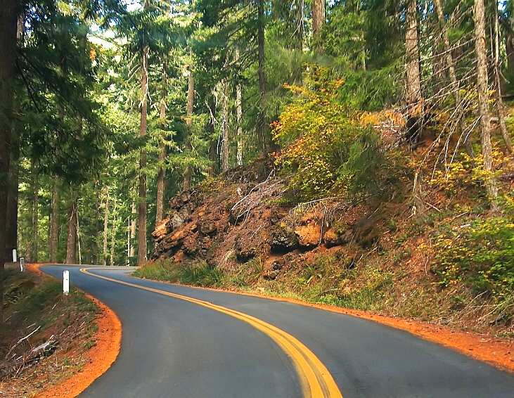

...and lots of tall trees.
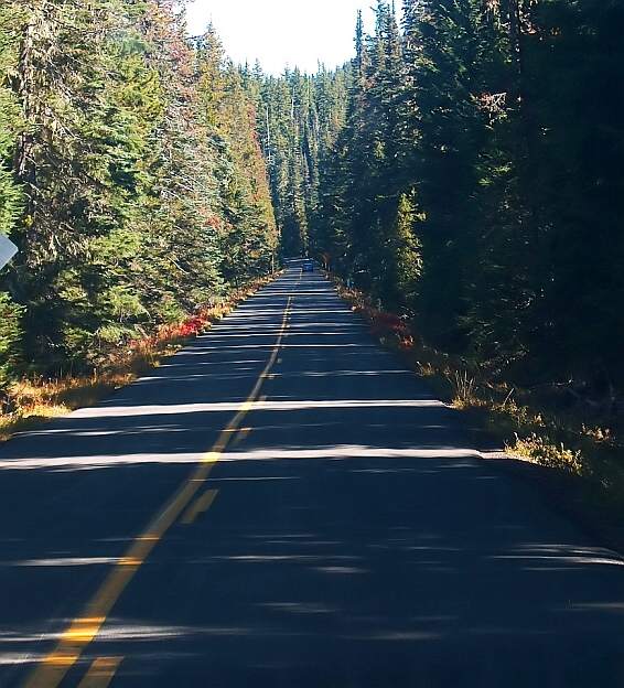

Then we got to the lava fields an expanse of almost 70 square miles.


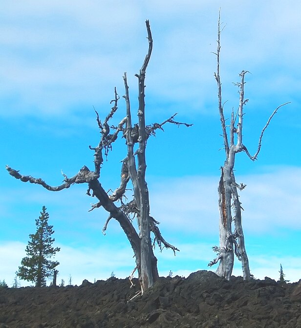
The sisters mountains were pretty inspiring but shooting into the sun made it difficult to get a good picture. Notice the lava the trees have to grow up in as opposed to soft soil.
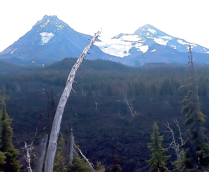

One more view of the sisters.
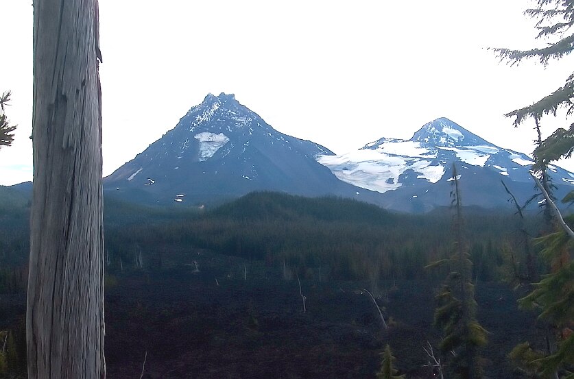

Looking East from where the previous two pictures were taken looking South the image is much better but I had to watch for cars to take this one.
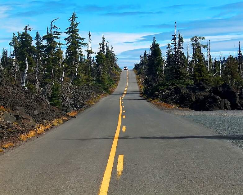

Looking North now across the road you can better see the lava the trees must try to survive in.

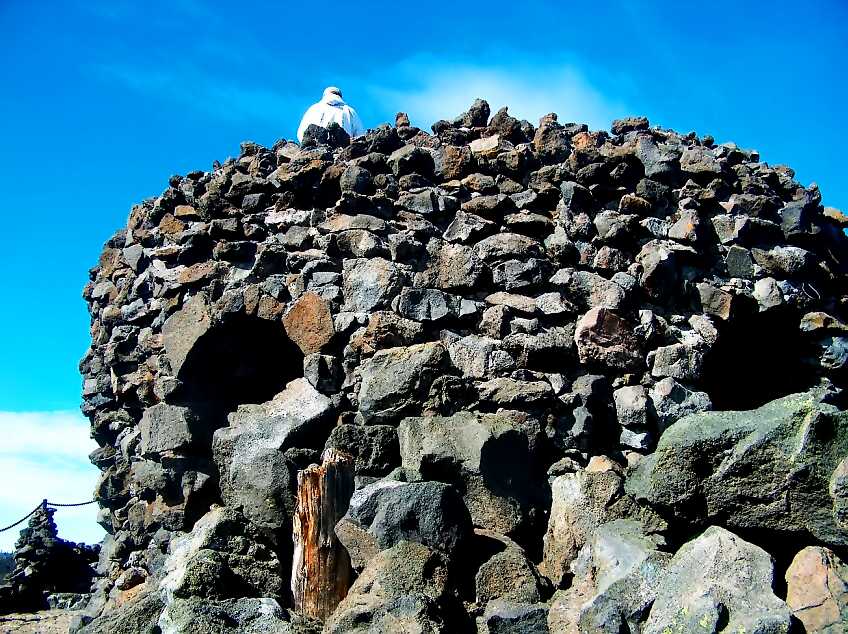
A little further up the road at McKenzie Pass Summit is the Dee Observatory built in 1937 by Benson Polytechnic School in Portland. It's a tower made from the lava that surrounds this mountain pass.

Benson's predecessor
Benson Polytechnic High School began in 1908 as the Portland School of Trades in the Atkinson Building at 11th and Davis in Northwest Portland. It was established to give "boys who wished to enter a trade a better opportunity than do shops and factories of the present time." Any boy from Portland who was at least fourteen years old, or who was a grammar school graduate, could attend. The course of study was three years. Students could also attend night school and/or summer sessions at the trade school. In 1909 , a course of study for girls was added. The Portland School of Trades was coeducational until 1913 when the girls' departments were moved to the Lownsdale School (which later became Lincoln High School.

Beginnings and the First World War
The Portland School Board voted to change the school's name to Benson Polytechnic High School after civic leader and philanthropist Simon Benson gave $100,000 in 1917 to the Portland School District for the construction of a building to house a technical school. The School Board appropriated an equal amount of money. Six blocks of land at Northeast 12th and Hoyt were purchased and a building was built, and the new Benson Polytechnic School opened its doors in September 1918 to 46 boys.

Benson Polytechnic School served not only the educational needs of the city's youth, but also the defense needs of a nation at war. During World War I the federal government took control of the school. Twenty-four hours a day, recruits were stationed and trained on the campus. North and south wings were added to the back of the school building to serve as a barracks for the troops.

This Plaque is about 3 feet in diameter and sits at the top of the observatory and marks the volcanoes and peaks around the circumference of the tower.


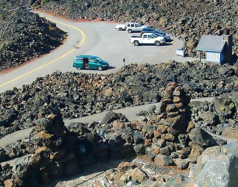
Looking down from the tower we see a parking area, some vehicles, a convince station and the mini-musemobile.

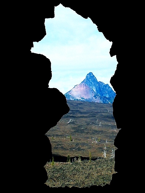
To the north, Mt. Washington a very high and colorful peak can be seen beyond the lava field.


Inside the Dee tower's covered lower level are openings marked to tell you which peak you are seeing. This is Mt. Washington again

The Sisters peaks.


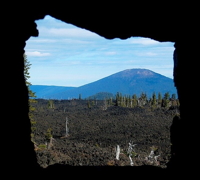
Black Butte

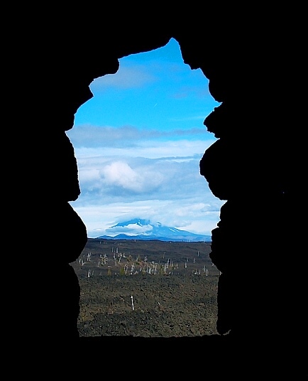
I think this is Mt. Jefferson but I'm not positive.

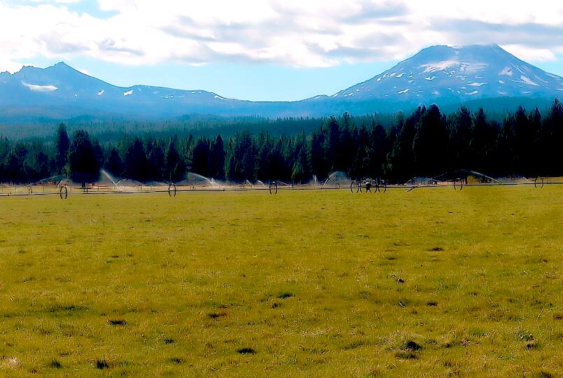
We finally made it back at the Sisters Peaks across real soil and grass when we arrived in Sisters, Oregon.


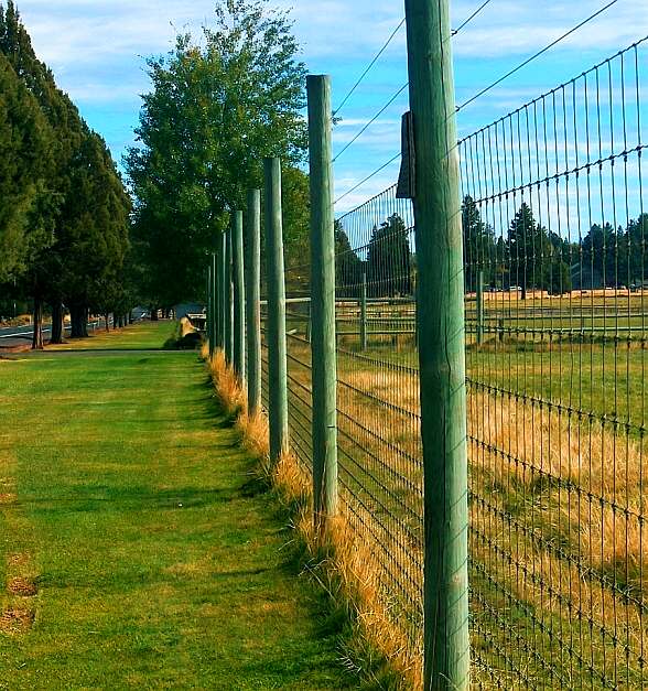
Great views of a special place....

.......From behind this fence.

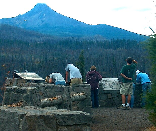
On the way back we stopped for a picnic and a look at the north face of Mt Washington and saw the devastation from the Sisters fires of 2003.


Some University of Oregon Geology students we had seen at the Dee Observatory stopped to take notes.

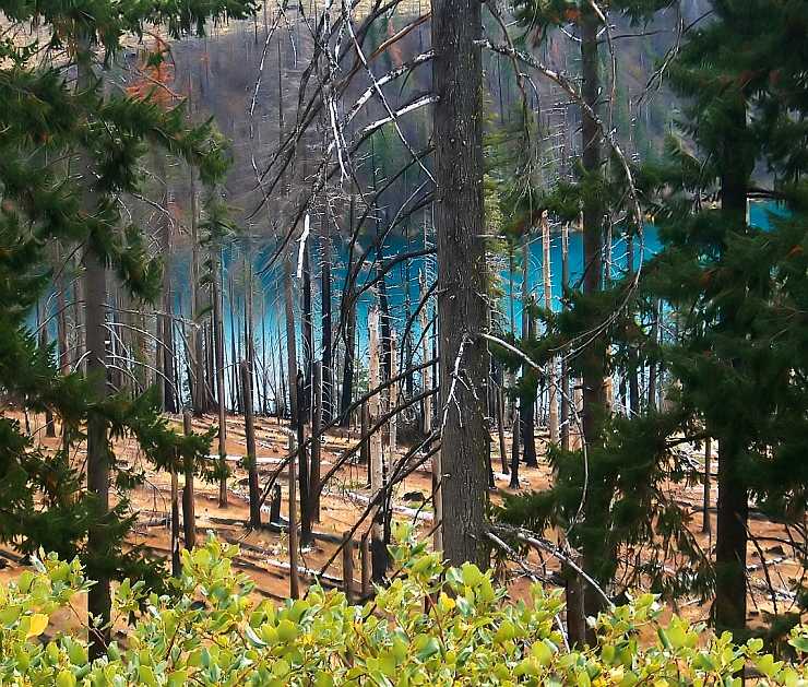
The fire damage was extensive and yet the lake was the most beautiful blue.

Farther down the road we stopped at this campground to scout it for a future weekend excursion. The camping was pretty rustic but I think we will come back in the future because it's close to home and we can handle a couple of days with the water tanks and the generator.

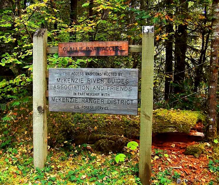
The campground is called Olallie campground and it looks like a good spot for fishermen along the McKenzie River complete with boat ramp.

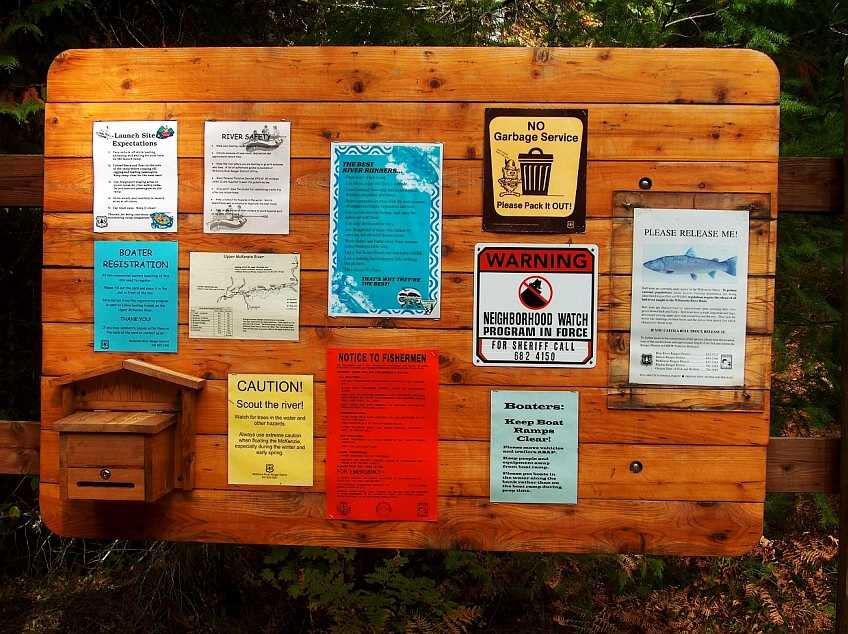
Lots of fishermen signs with the rules and other various informational messages.

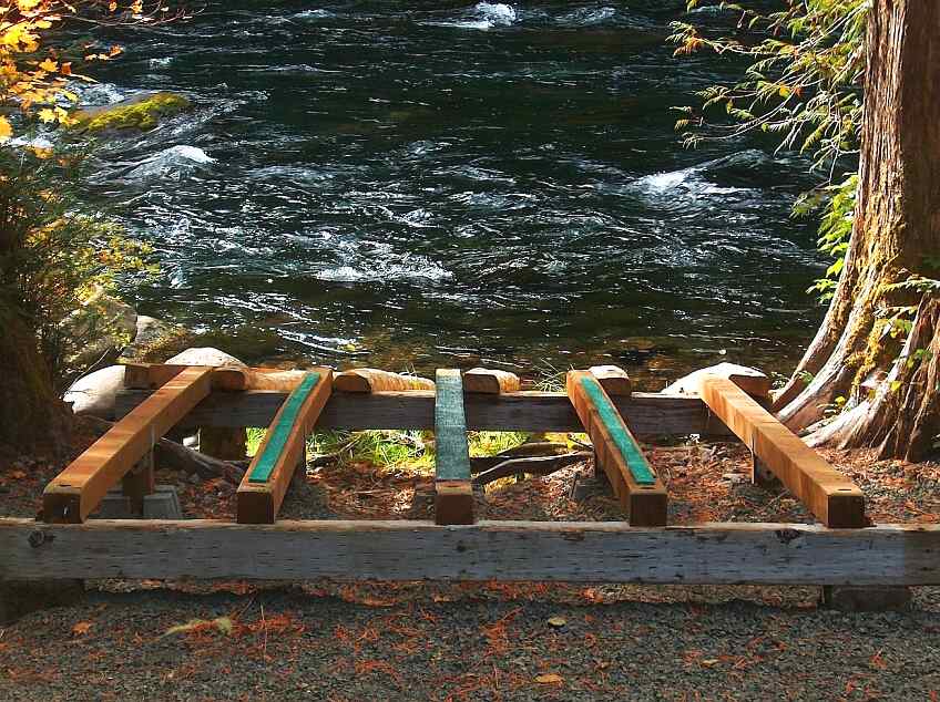
The boat ramp is a very simple configuration of 4x4 wood with astroturf looking felt strips.

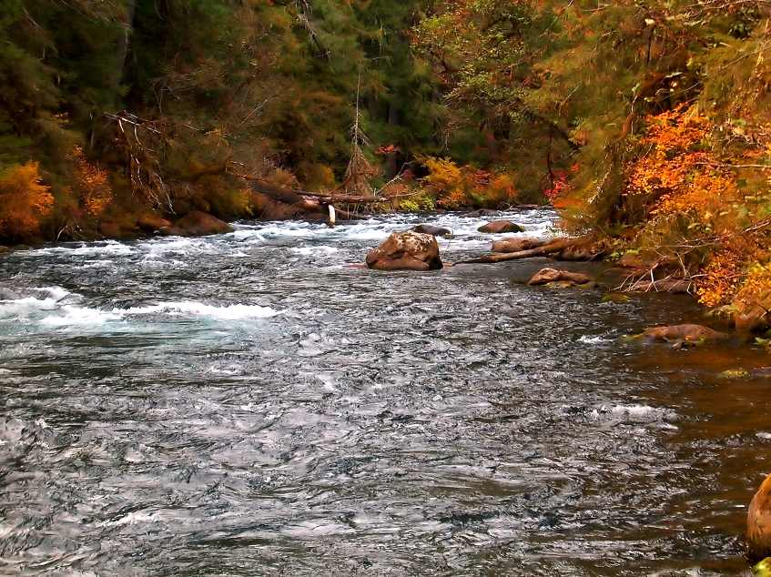
The autumn colors were terrific and the blue water gave an excellent composition for picture taking.
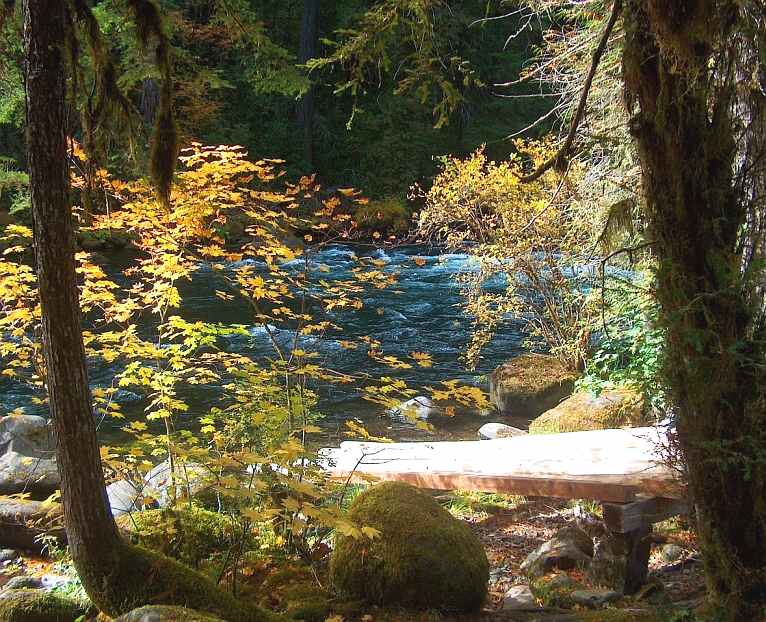

From another angle the golden light of dusk is beginning and with the yellow and orange vine maples it looks like King Midas touched the entire shoreline.

Scrabble Score ~ Scrabble Queen 329 ~ The Contender 320 (close but no cigar)

Quote of the Day ~
" There was also an undercurrent of desperation about the town's sagging image. They put up booster signs with slogans like "It's Swell in Hornell." As teenagers we mocked it. Yet it made me sensitive to the town's identity crisis: How does an underdog pull itself up?" - Bill Pullman

Bill Pullman (born December 17, 1953) is an American actor.

Born in Hornell, New York to James Pullman (a physician) and Johanna Blaas, he attended the State University of New York at Delhi, and the University of Massachusetts.

In the 1980s, he primarily worked with theatre companies around New York and Los Angeles, California. His first prominent movie role was in the film Ruthless People, starring Danny DeVito.

Other notable films included the lead in Spaceballs (1987), The Serpent and the Rainbow (opposite Zakes Mokae),While You Were Sleeping (1995) and Independence Day (1996). Pullman continues to act in both theatre and in movies, independent and big budget.

Pullman is married to dancer Tamara Hurwitz, and has three children. He lost his sense of smell in college after an injury left him in a coma for two days.

Sunday, October 01, 2006

Run River Run - In this case the Willamette

Near the town of Westfir that has the longest covered bridge in Oregon is one of our favorite RV parks. It's Casey's on the River and yest we were here not too long ago. We rode our bikes across the bridge to take a shot of the park from the other side of the Willamette - snap! Looking west across the river.


Looking East - snap! - The North nork of the Willamette. I really liked the leaning maple starting to show its' Autum colors.


The river was very clear along this stretch of the river.


I thought this rock was interesting, but then maybe just to me.


We rode back to the Musemobile had lunch and watched a movie then I went back out as the sunn approached the peaks. This view of the Willamette was to the SSW (South South West) and looking up river.


Again looking from the bridge to the North.


I moved a little farther across the bridge and too this picture at mid-span. I liked the fall colors along the river.


Looking down from the bridge I thought this rock formation looked like a man floating on his back. Mmmmm maybe I should check my glasses.


The growth on the rocks show many colors and give great depth to the images along with the collected pools of water on the rocks and of course the river itself.


Now this really is a Fall picture with leaves in the water and on the rocks.


More rocks and water - snap!


A side tributary taking a shortcut to the bridge.


It's hard to believe the sheer volume of water flowing down this river considering there is very little snow-pack left in the mountains and the rain has been sparse all summer.


A look down the bridge at the micro-musemobile (my hand-down Schwinn from Jill and Jesse) a fine ride great for healthy living and good for my self image as well.


Scrabble Scores:
September 30 ~ Scrabble Queen 391 - The Contender 308
October 1 ~ Scrabble Queen 308 - The Contender 298

Quotes for Yesterday and Today ~
"My purpose is to make my narrative as truthful as possible."

"There are not enough Indians in the world to defeat the Seventh Cavalry."
~ George Armstrong Custer


Custer fought with the 5th Cavalry at both Battles of Antietam and Chancellorsville. He was promoted from First Lieutenant to Brigadier General at age 23 (the youngest in the Union Army) three days before the Battle of Gettysburg.

Later he was demoted to Lieutentant Colonel and assigned to the 7th US Cavalry at Fort Riley Kansas where Mattme (my 2nd son) served.

May 17, 1876 George Armstrong Custer fought his last battle at Little Big Horn.

Saturday, September 30, 2006

Crater Lake Again

Today we took off in the mini-musemobile from Casey's Riverside RV Park to take the Rim Drive at Crater Lake. We hated to leave the musemobile all alone but it saves on the gasoline bill.

First some facts about Crater lake from the US Geological Survey Website

Facts about Crater Lake


Feature

Metric unit

Imperial unit

maximum depth (July 2000) 594 m 1,949 ft
maximum depth (Year 1959) 589 m 1,932 ft
minimum depth (near Phantom Ship) 5-8 m 15-25 ft
average depth 350 m 1,148 ft
max diameter of caldera at the rim 9.7 km (east-west) 6.02 mi (east-west)
min diameter of caldera at the rim 7.3 km (north-south) 4.54 mi (north-south)
surface area 52.9 km2 20.42 mi2, 13,069 acres
highest peak in the park (Mount Scott) 2,721.6 m 8,929 ft
highest peak on the rim (Hillman Peak) 2,484.4 m 8,151 ft
average height of the caldera rim 2,188 m above sea level
(305 m above lake surface)
7,178 ft above sea level
(1,000 ft above lake surface)
record clarity depth (August 1994) 40.8 m 134 ft
average clarity depth 27.4-30.5 m 90-100 ft

Crater Lake is filled with rain and melted snow that fell within the caldera basin. Crater Lake is isolated from surrounding streams and rivers, thus there is no inlet or outlet to the lake. Its primary input is from annual precipitation in the region. Average annual precipitation is 168 cm (66 in); average annual snowfall is 13 m (44 ft). It took approximately 250 years for the lake to fill to today's level (~1,883 m or ~6,178 ft above sea level). The lake maintains its current level because the amount of rain and snowfall equals the evaporation and seepage rate. Lake level has varied only over a range of 5 m (16 ft) in the past 100 years.

Crater Lake is known to be the deepest lake in the United States and the seventh deepest in the world. A maximum lake depth of 608 m (1,996 ft) was recorded by a group of USGS representatives in 1886 using piano wire and lead weight. The maximum depth of 589 m (1,932 ft) was established in 1959 by the USGS using sonar measurement. This depth is referenced at the surface elevation of 1,882 m (6,176 ft). But since its primary input source is dependent upon the climate, lake level is subject to abrupt changes. Crater Lake partially fills the collapsed caldera of the ancient Mount Mazama Volcano. The caldera is a bowl-shape depression of about 1,219 m (4,000 ft) deep.

The maximum depth of Crater Lake recorded at the time of the July 2000 multibeam survey was 594 m ( 1,949 ft). The lake level had an elevation of 1,883 m (6,178 ft) above sea level at the time of the survey. The lake level of Crater Lake fluctuates according to the climate.

The record clarity of Crater Lake was measured at a depth of 41 m (134 ft) in August 1994. The lake clarity is measured with a secchi disk, a black and white disk lowered into the water with a cable. Its exceptional clarity is mainly due to its isolation from streams and rivers. There is no incoming stream to bring any organic materials, sediments, or chemicals to pollute the lake, although natural plankton in the lake and wind-borne pollen have seasonal effects on water clarity. Particulate materials and chemicals are mainly introduced into the lake through precipitation and run-off of the calderal walls. The caldera wall is composed of volcanic rocks that do not react with or dissolve easily in cold water, although warm water escaping from the caldera floor adds a small amount of dissolved solids.


We stopped on the way in a town called Chemult, Oregon. Chemult is on Highway 97 between Highway 58 where we were camping and Highway 138 that took us into the park. Next to the cafe we found was this interesting fence.


The cafe was the "Big Mountain" Cafe though I'm not sure which mountain it was referring to since there were many around.


They did have this cool chainsaw art eagle just outside the door. The breakfast was good but not Brennan's and it hit the spot.


One of the "Big" mountains around was the 9,182 foot Mt Thielsen which we could see just after taking the Rim Drive around Crater Lake.


Our first view of the lake was pretty awesome. There was a haze today from a fire to the south of the park that made it really difficult to take pictures but I got a few good ones. Remember to click on the pictures for a larger view then use your browser's back button to return to the blog. What you are seeing is the rim of the crater with Wizard Island in the center of the picture.


Another picture of Wizard Island with a raven flying by to get attention and handouts from the tourists at the overlook.


There are beautiful coves all around the lake and here you can get an idea of how high the crater rim is from the lake.


I found the rock walls around the lake fascinating and probably an geology semester 's worth of study. From this black and brown rock....


...to this grayish brown pinnacle..


Scrabble Queen really liked this twisty tree growing out of this out outcropping.


Then there was this reddish/orange/tan rock that had very smooth surfaces.


I like this view back down the Rim Drive with the lone pine and the highest area of the rim in the background.


There were also some really nice fall colors to blend with the deep blue lake and green pines.

Just spectacular.............


.. and guess what - the nice folks that run P&J Disposal Services in Creswell were there as well. We ran into them at this lookout and I got them to give me a group photo. Wonderful people even if dad had the camera I'd die for *lol*. It's a Cannon DSLR (Digital Single Lens Reflex)


Pumice Castle is the name of the bright orange rock in the middle of this rock face.


Later we came upon the "Phantom Ship" a small island in the lake.


You have to give it to the forest service for trying to protect those oblivious to what should be obvious. Duh! - after seeing the height of the rim walls would you get close enough to fall? If so heed this sign.


It's no wonder Crater lake was one of the first National Parks and has been for almost 100 years.


Wizard Island from the South Rim.


I hope this person is listening to their I-Pod and not out for the count. Sitting on the veranda of the Crater Lake lodge with the wonderful view surely must have overwhelmed him.


A Clark's Nuthatch perched in a pine begging for crackers and peanuts from the tourists.


I think this chipmunk is trying to get into the action as well.


Gnarled old dead trees are interspersed with their younger counterparts all along the rim.


Sometimes it's hard to tell which are the most impressive.


One last view of the rim and lake before we head back to Casey's.


Out of the park on the long straight stretch of highway 138 looking east and only 2 hours to see our Musemobile and rest.

Copyright

©Paul Viel